Applications / Independent project
ComTree
A map-first application for exploring trees and place-based information.
- Project type
- Independent project
- Focus
- Map-based application
- Anders' role
- Concept, design, and development
The need
Explore how geographic information can be easier to understand on a shared map than in a flat list.
The work
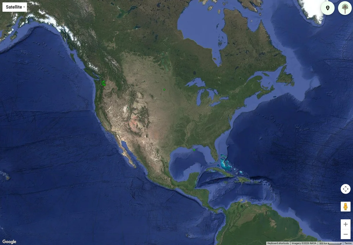
Created an independent map-based application with satellite imagery, geographic markers, and map controls, keeping the map as the primary workspace.
The result
Visitors can pan, zoom, and explore the mapped information in its geographic context. The project demonstrates an interactive application rather than a conventional brochure site.
Behind the build
Decisions with
a purpose.
- Make the map the main workspace.
- Use markers to connect information to a place.
- Keep navigation lightweight so the map remains usable.
What could this look like for you?
Your customers and workflow set the direction. Let's talk about the part of your business a website could make easier.